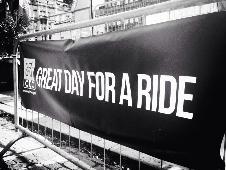
Posted on Mar 10, 2015 at 13:29 PM by andy.geall79
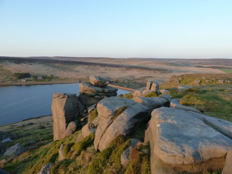
This corridor is the ‘Real Deal’ selected by the ASO the organisers of the Tour De France to be part of stage 2 in the 2014 event. The corridor begins in Bronte Country at Oxenhope a location used in the filming of The Railway Children. The corridor 10.6km in length steadily climbs 243m to the summit at Cock Hill before descending 348m to the Town of Hebden Bridge. This corridor has plenty to offer with a number of pubs on route and an ice cream van usually parked part way on the descent. Leaving the village of Oxenhope the corridor soon reaches open moorland to Cock Hill and beyond. The road snakes
through the village of Pecket Well before descending into the tree lined ‘Spring Wood’ into Hebden Bridge.
Posted on Mar 10, 2015 at 11:57 AM by andy.geall79
The Widdop Road corridor begins at Thursden in Lancashire however there are a number of cycle corridors that link to Thursden from Burnley, Brierfield, Nelson, Colne and Trawden providing a range of options for cyclists. The first part of the corridor is very steep as the road cuts through the hillside and for the first half km the road has safety barriers to cater for the shear drop of the land. The road throughout the corridor is rolling with 10.8km of cycling on offer the balance between climbing and descending is equal as the route goes up for 260m and down for 268m. This corridor links well with the The Long Causeway (Into Blackshaw Head).
Read More
Posted on Mar 10, 2015 at 11:44 AM by andy.geall79
The Long Causeway travels from Mereclough on the outskirts of Burnley to the rural Calderdale village of Blackshaw Head. This corridor is spectacular with the majority of the corridor passing through rural moorland. With 10.3km of cycling on offer the corridor consists of 254m of climbing and a 138m of descent, however once the climb out of Mereclough is behind you this road is quick unless there are strong winds blowing in your face. The corridor is cycled by hundreds of riders each week and it’s easy to understand why, at Blackshaw Head this corridor offers a range of options to visit the historic
village of Heptonstall or head down the super steep Mytholm steeps to the tourism hotspot of Hebden Bridge.
Posted on Mar 10, 2015 at 11:35 AM by andy.geall79
The A646 is made up of small rolling hills and travels from the outskirts of Burnley to Todmorden. The corridor 11.7km in length provides direct access for cyclists wishing to avoid the many big hills of the area. Considering the corridor is a main route for motorists it feels relatively traffic free until you reach the outskirts of Todmorden. This corridor climbs 172m and descends 211m into Calderdale.
Read More
Posted on Mar 09, 2015 at 15:48 PM by andy.geall79
This is a basic A road climb that connects Brighouse, Hipperholme, Shelf and Queensbury. The climb covers 5.5 miles and rises 923ft with slight downhill sections throughout. With an average gradient of 3.4% you wouldn’t consider the climb steep; however some sections feature a maximum gradient of 8.8% that make it challenging for short periods. Traffic can be heavy during rush hour especially at the cross roads of Hipperholme and Queensbury. Climb status hard (Red) and (Cat 3) graded more on the distance than the severity of the climb.
Hard – Red
Hard climbs will feature a constant level of difficulty or feature a technically difficult section. Climbs of this nature are likely to feature terrain with a gradient between 5 and 10%. This type of climb will really challenge new cyclists and require regular cyclists to increase their efforts to successfully complete this type of climb. The majority of the climbs in the Calderdale area are hard – Red.
Read More
Posted on Mar 09, 2015 at 15:27 PM by andy.geall79
This climb leaves the heart of Brighouse covering 2.4 miles of tarmac to the A649 outside Scholes. The first half mile is the toughest reaching a maximum gradient of 9%, it then eases off with a slight fall before the road gradually climbs to the summit. For cyclists who are less confident with high speed
traffic the upper section of the climb has a national speed limit. Climb status hard (Red).
Hard – Red
Hard climbs will feature a constant level of difficulty or feature a technically difficult section. Climbs of this nature are likely to feature terrain with a gradient between 5 and 10%. This type of climb will really challenge new cyclists and require regular cyclists to increase their efforts to successfully complete this type of climb. The majority of the climbs in the Calderdale area are hard – Red.
Read More
Posted on Mar 09, 2015 at 14:41 PM by andy.geall79
The second of the two climbs that leaves the east side of Elland. This climb covers a mile with an average gradient of 4.2% and a maximum of 13.3%. This makes the climb seem easy than it is, basically the lower part of the climb is easy until you reach the traffic calming chicane at the bottom of Lower Edge Rd. From this point the climb is pretty tough until you reach the summit. Climb status hard (Red).
Hard – Red
Hard climbs will feature a constant level of difficulty or feature a technically difficult section. Climbs of this nature are likely to feature terrain with a gradient between 5 and 10%. This type of climb will really challenge new cyclists and require regular cyclists to increase their efforts to successfully complete this type of climb. The majority of the climbs in the Calderdale area are hard – Red.
Read More
Posted on Mar 09, 2015 at 14:17 PM by andy.geall79
This is one of two climbs that leave the east side on Elland, covering 0.9 miles with an average gradient of 6.5% and a maximum gradient of 12.2% The first part of the climb has a small fall before heading under the A629 and ramping up the hillside. The first uphill section is the toughest before road bends left and gradient decreases. Climb status hard (Red) and (Cat 4).
Hard – Red
Hard climbs will feature a constant level of difficulty or feature a technically difficult section. Climbs of this nature are likely to feature terrain with a gradient between 5 and 10%. This type of climb will really challenge new cyclists and require regular cyclists to increase their efforts to successfully complete this type of climb. The majority of the climbs in the Calderdale area are hard – Red.
Read More
Posted on Mar 09, 2015 at 13:43 PM by andy.geall79
This is another short but ultra-steep climb covering 0.5 miles and making up part of the annual Calderdale Mountain Bike Marathon that is held in October each year. This climb provides a good challenge for mountain bikers linking bridleways or road cyclists enjoying the quiet roads of Mill Bank. This climb starts with a steady gradient until you reach half way and you’re faced with a wall of tarmac with an average gradient of 8.9% and a maximum of 17.3%. The climb eases off as the road turns right however it is still no means easy until you reach the top. Climb status very hard (Double Black).
Very Hard – Double Black
A Very Hard – Double Black climb will feature super technical difficulty and really challenge amateur and profession cyclists alike. Climbs of this nature are likely to have an average gradient over 10% and sections over 15% gradient make these climbs seriously tough. Calderdale has a number of road and mountain bike climbs that sit in this category.
Read More
Posted on Mar 09, 2015 at 13:35 PM by andy.geall79
Butterworth Lane is one of the shortest and toughest climbs in the area branching off the A58 above Sowerby Bridge. The climb only covers 0.3 miles with an average gradient of 10.3% and a maximum gradient of 13.4% making the severity of the hill pretty consistent throughout. Climb status very hard (Black).
Very Hard – Black
Very Hard climbs will always feature a very steep gradient between 10 and 15% or feature technical terrain that requires a high level of skill to negotiate. This type of climb is a real challenge for anyone and a number of elements come into play on this type of climb. Having a bike that suits you with a good range of gears, health and general cycling fitness are all important to successfully complete a very hard – black climb.
Read More
_768_600_s_c1.jpg)