by Shaun
Posted on Jun 04, 2014 at 15:39 PM
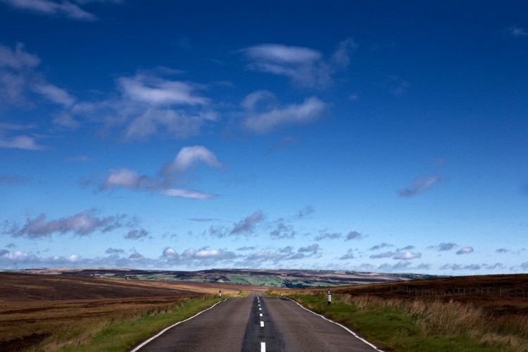
This route follows Stage 2 of the Tour de France 2014 through Calderdale.
Stage 2 of the Tour is a lung-busting 200km from York to Sheffield. It sees the peloton coming into the amazing Calderdale terrain from Haworth. The peleton hits Calderdale at Cock Hill on the A6033. From there the riders will pedal through Peckett Well and Wadsworth into Hebden Bridge, turning left onto the A646.
Between Hebden Bridge and Mytholmroyd the race stays on the A646 before turning right, taking a deep, deep breath, and tackling England’s longest continuous road climb; Cragg Vale on the B6138.
After conquering Cragg Vale, racers turn left onto the A58 and into beautiful Ripponden, passing Baiting and Ryburn reservoirs. As the race approaches Ripponden the riders take a tricky hard right as they descend to the valley bottom before climbing Ripponden Bank on the B6113.
Leaving Ripponden Band behind, the peloton will speed through Greetland and West Vale. A sharp right at the crossroads onto the B6112 Stainland Road is followed by a zig zag left onto Queen Street. Following a right onto Green Lane and a aleft onto Hullenedge Lane the riders will turn right onto Hammerstones Road before the steep narrow climb up Blackley Road.
The peloton passes by Elland Gold Club as Blackley Road turns into Lindley Road and the riders speed along the decline via the A629 to the Ainley Top roundabout. The riders then say goodbye to the 35km Calderdale section of the race as they cross into Kirklees.
_768_600_s_c1.jpg)