by andy.geall79
Posted on Dec 30, 2014 at 11:34 AM
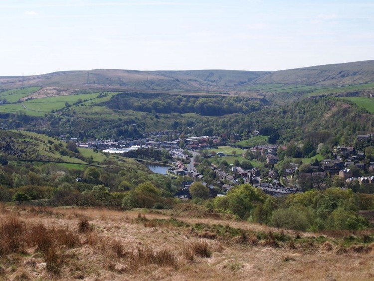
The A681 travels from the Lancashire town of Bacup to the small settlement of Shade near Todmorden. The corridor consists of a single climb and a descent with 80% of the corridor surrounded by rural scenery. The corridor is 7.5km long and climbs 185m before descending 301m into Calderdale. From the Bacup side the summit of the climb is reached at 2.8km and then offers an instant reward of 4.7km of descending. For cyclists who appreciate great views and scenery the summit of the climb at 400m is one of Calderdale’s highest road points and provides excellent views over the Calder Valley and beyond.

_768_600_s_c1.jpg)