Posted on Oct 23, 2014 at 14:43 PM by andy.geall79
This climb offers 2.6 miles of uphill terrain from Littleborough to Blackstone Edge. This one covers the first mile over a comfortable gradient before ramping up after the Moorcock Inn to the summit just after the White House providing a pub to pub challenge. The weather on this climb can be mixed and it’s not uncommon to be blasted by the wind and then totally sheltered as the climb hugs the hillside. With an average gradient of 5.5% and a maximum of 11.1% this is not an easy climb. Climb status hard (Red) and (Cat 3)
Hard - Red
Hard climbs will feature a constant level of difficulty or feature a technically difficult section. Climbs of this nature are likely to feature terrain with a gradient between 5 and 10%. This type of climb will really challenge new cyclists and require regular cyclists to increase their efforts to successfully complete this type of climb. The majority of the climbs in the Calderdale area are hard – Red.
Read More
Posted on Oct 23, 2014 at 14:30 PM by andy.geall79
This climb covers 4.4 miles from the village of Ripponden to Blackstone Edge. The climb starts with a steep section up through the houses before levelling off past Baitings Reservoir before kicking again until you reach the summit. With an average gradient of 3.4% and a maximum gradient of 7.7% this climb provides a good challenge. The weather on this climb can play a major factor and the top sections are open to the elements and a head wind is not uncommon. Climb status challenging (Blue) and (Cat 3).
Challenging climbs are likely to feature an average gradient between 3 and 5% and can feature some technical difficulty. These climbs are ideal for people who have a good level of fitness and want to improve their ability to climb and feel a sense of achievement.
Read More
Posted on Oct 22, 2014 at 16:13 PM by andy.geall79
The famous climb of Cragg Vale is the longest continuous uphill in England. Many cyclists have a love hate relationship with this climb as it’s not particularly hard with an average gradient of just over 3%. Although the average gradient isn’t steep the climb kicks up through the village of Cragg Vale to a maximum 12.8% and the distance and weather can seriously impact how long it takes to complete the climb. The wind heading south will help progress especially on the open moorland section that is exposed to the elements. Climb status challenging (Blue) and (Cat 3) taking into consideration weather conditions.
Challenging – Blue
Challenging climbs are likely to feature an average gradient between 3 and 5% and can feature some technical difficulty. These climbs are ideal for people who have a good level of fitness and want to improve their ability to climb and feel a sense of achievement.
Read More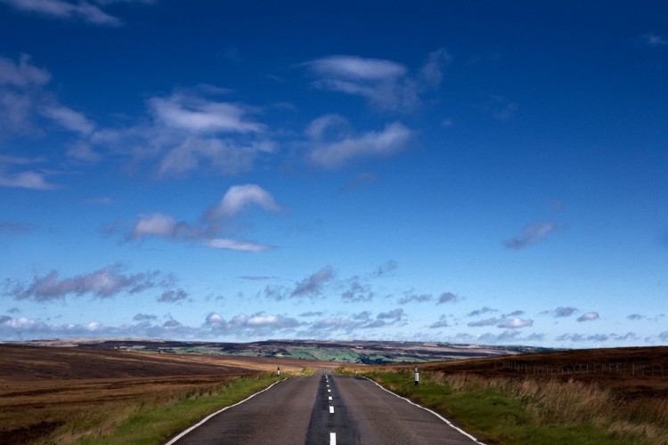
Posted on Oct 22, 2014 at 10:34 AM by andy.geall79
The Cragg Double simply named because it heads up England’s longest continuous road climb not once but twice. Starting in the small village of West Vale the route offers a mix of urban and rural road cycling and visits Sowerby Bridge, Mytholmroyd, Todmorden and Hebden Bridge along the way. The route is not overly difficult and the gradients on the hills are reasonably kind compared to some climbs in the area. We would grade this route as hard to those less used to cycling long distances on the road.
Download The Cragg Double Route Guide
Read More
Posted on Jun 16, 2014 at 16:56 PM by Tom
Starting in Elland this route heads towards Riponden and down Cragg Vale towards Mytholmroyd, not only is this route part of the Tour de France it takes in extensive views and scenery.
Read More
Posted on Jun 16, 2014 at 15:45 PM by Tom
This route loops you back to your starting point and takes in fabulous scenery as well as part of the Tour de France Route the climbs up Cragg vale Ripponden bank and the KOM section on cote d’Greetland.
needless to say this may look like a short route, but by crikey it has a sting in it’s tail.
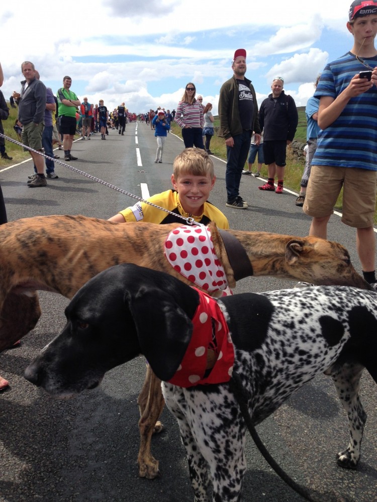
This route follows Stage 2 of the Tour de France 2014 through Calderdale.
Stage 2 of the Tour is a lung-busting 200km from York to Sheffield. It sees the peloton coming into the amazing Calderdale terrain from Haworth. The peleton hits Calderdale at Cock Hill on the A6033. From there the riders will pedal through Peckett Well and Wadsworth into Hebden Bridge, turning left onto the A646.
Between Hebden Bridge and Mytholmroyd the race stays on the A646 before turning right, taking a deep, deep breath, and tackling England’s longest continuous road climb; Cragg Vale on the B6138.
After conquering Cragg Vale, racers turn left onto the A58 and into beautiful Ripponden, passing Baiting and Ryburn reservoirs. As the race approaches Ripponden the riders take a tricky hard right as they descend to the valley bottom before climbing Ripponden Bank on the B6113.
Leaving Ripponden Band behind, the peloton will speed through Greetland and West Vale. A sharp right at the crossroads onto the B6112 Stainland Road is followed by a zig zag left onto Queen Street. Following a right onto Green Lane and a aleft onto Hullenedge Lane the riders will turn right onto Hammerstones Road before the steep narrow climb up Blackley Road.
The peloton passes by Elland Gold Club as Blackley Road turns into Lindley Road and the riders speed along the decline via the A629 to the Ainley Top roundabout. The riders then say goodbye to the 35km Calderdale section of the race as they cross into Kirklees.
Read More
Posted on Jun 04, 2014 at 15:39 PM by Shaun
This route follows Stage 2 of the Tour de France 2014 through Calderdale.
Stage 2 of the Tour is a lung-busting 200km from York to Sheffield. It sees the peloton coming into the amazing Calderdale terrain from Haworth. The peleton hits Calderdale at Cock Hill on the A6033. From there the riders will pedal through Peckett Well and Wadsworth into Hebden Bridge, turning left onto the A646.
Between Hebden Bridge and Mytholmroyd the race stays on the A646 before turning right, taking a deep, deep breath, and tackling England’s longest continuous road climb; Cragg Vale on the B6138.
After conquering Cragg Vale, racers turn left onto the A58 and into beautiful Ripponden, passing Baiting and Ryburn reservoirs. As the race approaches Ripponden the riders take a tricky hard right as they descend to the valley bottom before climbing Ripponden Bank on the B6113.
Leaving Ripponden Band behind, the peloton will speed through Greetland and West Vale. A sharp right at the crossroads onto the B6112 Stainland Road is followed by a zig zag left onto Queen Street. Following a right onto Green Lane and a aleft onto Hullenedge Lane the riders will turn right onto Hammerstones Road before the steep narrow climb up Blackley Road.
The peloton passes by Elland Gold Club as Blackley Road turns into Lindley Road and the riders speed along the decline via the A629 to the Ainley Top roundabout. The riders then say goodbye to the 35km Calderdale section of the race as they cross into Kirklees.
Read More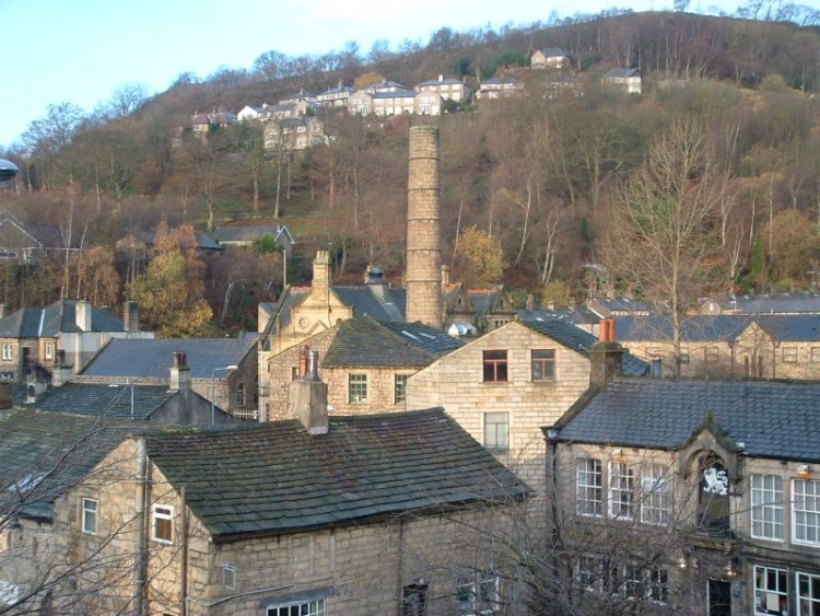
Posted on Apr 24, 2014 at 14:43 PM by Shaun
A challenging 70 mile route starting in Hebden Bridge, taking in Todmorden, before the moors to Trawden, back through Oxenhope to Halifax, south to Elland then on to Ripponden, Rishworth and thankfully down Cragg Vale back into Hebden Bridge.
Read More
_768_600_s_c1.jpg)